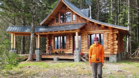
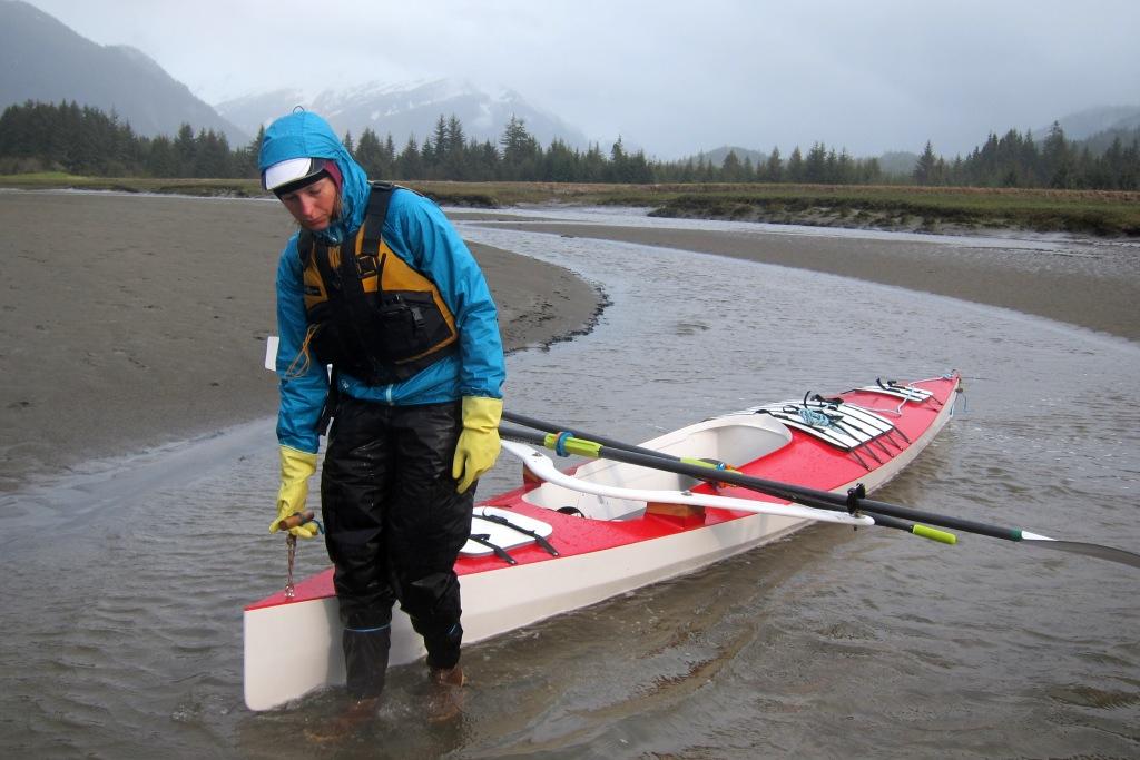
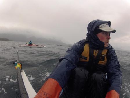
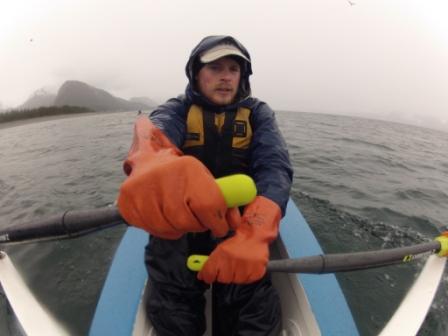
The final leg to our cabin near Haines brought both too much water and too little. In a driving rainstorm several miles outside of downtown Juneau we found ourselves dragging the boats through Gastineau Channel, gone dry at low tide. In the frenzy of final packing and logistics and with only a couple of hours of sleep, we neglected to think about much for the day besides getting back on the water. Fortunately the tide did its usual reversal and before long we were floating in the boats and able to continue on our way. The next couple of days brought more water than we wanted to deal with, in the form of rain squalls and whitecaps. We happily arrived at our cabin in northern Lynn Canal yesterday evening under heavy rain and gusty southeasterly winds, and one of the worst surf landing we’ve dealt with yet. We cut our seafaring teeth on Bellingham Bay and have since scared the pants off ourselves many times in Lynn Canal. Linking these two bodies of water offered a new perspective on each, and on the nearly 1,200 miles between. We lived on a 27’ sailboat while attending Western Washington University in Bellingham and clumsily learned about winds and tides on forays around the San Juan islands. A boating class at the local community college taught us the difference between port and starboard, and how to read channel markers and current atlases. In the summer between my first and second year of graduate school, we made our way to the north end of Vancouver Island, detouring up Bute Inlet to climb Mt. Waddington along the way. After motoring up the glacially-fed Homathko River, we left our boat at a logging camp. We struggled through the dense brush of temperate rainforest to reach the extensive icefields and jagged peaks above. This journey in the Coast Mountains of British Columbia instilled in both of us a love for landscapes where mountains meet the water. We first visited Glacier Point on a short kayak trip outside of Haines the following summer. Camping on what is now our beach was enough to send us zooming back to town to make an offer on the 30+ acres of remote coastal property. After three seasons of felling trees, scribing and stacking logs, and milling boards, we were ready to move into our cozy, 700 sq ft log cabin. Building and living remotely has presented plenty of challenges, boating being one of the most persistent and stressful. Lynn Canal is the most familiar body of water on the entire Inside Passage, but it is also one of the most intimidating. Crossing the Chilkat Inlet to Letnikof Harbor in Haines is always a slightly daunting proposition. Though only a nine mile boat ride, this glacial fjord kicks up chop at the slightest breeze and happens to be one of the windiest places in southeast Alaska. Transporting supplies, visitors, and ourselves only happens at the whim of the winds and water, usually accompanied by slightly frayed nerves. We have been left stranded on one side or the other for days at a time when the seas are too rough for our 16’ skiff. Capsizing a kayak taught us early on about the seriousness of this crossing. Other days the glassy water feels like a lake, and hauling sheets of plywood, a 500 gallon water tank, and other unwieldy cargo is a breeze. Soaked to the bone after a wet day in 20 knot winds and temperatures in the high 30s, we delighted in warming up by the woodstove and drying out gear last night. Glacier Point is a dynamic and lively place, with jagged peaks, fierce winds, and a productive coastal rainforest. Winter storms rearrange the beach margins at will, creating an ever-changing shoreline. A picturesque tidal lagoon provides a stopover for migrating birds—this morning we watched dowitchers, plovers, dunlin, whimbrel, teal, pintail, and mallards feeding and roosting. A fresh moose carcass, perhaps the product of abundant wolves in the area, lay in the grass nearby. These all serve as reminders that our arrival is only one of the many comings and goings here. Leaving Bellingham in a hailstorm and arriving in Haines to snow along the shorelines, it feels like we’ve been chasing spring on its slow passage north. With unseasonably cool temperatures, the surrounding peaks are plastered with fresh snow and leaves are only barely starting to emerge. This backward progression of the seasons will continue a bit longer as our next leg of the trip takes us up and over the mountains. We plan to packraft across to the east side of Lynn Canal with ski and glacier travel gear. We’ll climb through treeline to the prominent col near Mt. Sinclair that we see from our cabin window. We’ll then travel over the Mead glacier that leads into Canada. From there we will drop down into Tagish Lake (Taku Arm) and packraft its 110 mile length to Whitehorse. If all goes according to plan, that is!
